Finanziato dall'UE Ministero dell'Università e della Ricerca Logo ItaliaDomani
CASTLE
Hero background

CASTLE

Creating Agricultural reSilience Through Small rEsservoirs

Mapping small reservoirs and their importance in meeting irrigation demand and quantification efforts
2023 - 2025

DATA DOWNLOADS

The CASTLE project analyzes the contribution of SmARs (Small Agricultural Reservoirs) to the resilience of agricultural activities, with the aim of optimizing water resource management. The initiative includes:

SmARs Centroids

SmARs Centroids

The SmARs Italy layer shows the national distribution of small agricultural catchments (SmARs). The catchments were identified and mapped by integrating satellite data and geospatial sources.

SmARs Italy

SmARs Italy

The SmARs Italy layer shows the national distribution of small agricultural catchments (SmARs). The catchments were identified and mapped by integrating satellite data and geospatial sources.

Prime Index

Prime Index

Index for prioritizing agricultural areas affected by drought, based on the frequency of drought events, crop extent, and economic value.

Green Water

Green Water (GW) 10km

Average monthly volume of green water, the rainfall retained in the soil as moisture available for agricultural use, calculated with the WATNEEDS model (average for the period 1994-2023).

Consumptive Blue Water

Consumptive Blue Water (BW) 10km

Average monthly volume of blue water, the water required in addition to green water to meet crop water demand, estimated with the WATNEEDS model (average for the period 1994-2023).

Landscape Suitability

Landscape Suitability (SmARs):

Landscape suitability at the national scale was assessed using a spatial multi-criteria evaluation (SMCE) approach, applying a weighted linear combination (WLC). Biophysical and socio-economic variables were integrated and reclassified into suitability classes based on natural discontinuities in their distribution.

OUR PROJECT

Agriculture Under Pressure

Rising temperatures and declining rainfall threaten crop production, especially in mid-latitude regions. The challenges seen in 2022 highlight a growing vulnerability that is expected to worsen in the coming years.

Building a Resilient Future

Expanding the SmAR network is a key strategy to counter water scarcity and safeguard agricultural productivity. Join us in exploring innovative, sustainable water storage solutions for a more resilient agricultural future.

The Challenge: Water Scarcity & Droughts

Climate change is increasing the frequency and severity of droughts and extreme weather events. Effective water resource management has become more crucial than ever to ensure long-term sustainability and food security.

The Role of Small Agricultural Reservoirs (SmAR)

Though smaller than large dams, SmARs are vital for providing reliable water access to rural communities. When integrated with larger irrigation systems, they strengthen agricultural resilience during extreme climatic events.

MAIN OBJECTIVES

Spaceship in space

Mapping and Understanding SmAR

Develop tailored methodologies to map Small Agricultural Reservoirs (SmAR) using satellite data and field surveys. By combining remote sensing with on-site information, the project will create the first consistent national inventory, detailing both the geographic and volumetric characteristics of these reservoirs.

Lake

Assessing Water Needs and Drought Resilience

Generate high-resolution, crop-specific maps to estimate monthly irrigation demands through an agro-hydrological model. By linking SmAR storage data with agricultural water needs, the project will assess how small reservoirs can mitigate drought risks and support sustainable farming.

Flowing water

Planning Future Water Infrastructure

Identify the best locations for new reservoirs using advanced siting methodologies. The results will guide water managers and policymakers in expanding the SmAR network efficiently, providing robust data and innovative tools for sustainable agriculture and resource management.

CREDITS

Logo

Politecnico di Milano - Department of Civil and Environmental Engineering (DICA)

The research unit, part of the Glob3science Group led by Prof.ssa Maria Cristina Rulli, is coordinated by Dr. Davide Danilo Chiarelli (RTDb since 2022) and includes Prof.ssa Maria Cristina Rulli, Dr. Nikolas Galli, Harsh Nanesha, and Arianna Tolazzi.

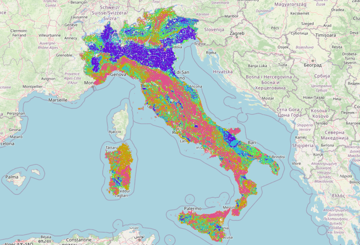
The team specializes in hydrological modeling, Food-Water-Energy nexus assessment, agriculture, and irrigation systems. Within the project, they will estimate agricultural irrigation demands near small reservoirs and evaluate the operational capacity of Small Agricultural Reservoirs (SmAR) for emergency irrigation.

Logo

Sapienza University of Rome - Department of Civil, Environmental and Building Engineering (DICEA)

The unit, led by Prof. Elena Ridolfi, includes Prof. Francesco Napolitano, Dr. Benedetta Moccia, and PhD students Flavia Marconi and Lorenza Cappellato.

The team’s expertise covers statistical analysis of hydrological data, hydraulic risk assessment, compound and cascade event analysis, and the evaluation of drought and flood risks. Within the project, they will assess the vulnerability of Italian territories to drought, identify the most affected crops, and determine priority areas for the installation of small irrigation reservoirs.

Logo

Università degli Studi di Firenze (UNIFI)

UNIFI is represented by the Department of Civil and Environmental Engineering (DICEA) and the Department of Agricultural, Environmental, Food and Forestry Science and Technology (DAGRI). The DICEA group, led by Prof. Enrica Caporali, includes Dr. Tommaso Pacetti, Dr. Marco Lompi, and PhD students Gabriele Bertoli and Jerome El Jeitany. The DAGRI group, led by Prof. Elena Bresci, includes Dr. Giulio Castelli and Dr. Luigi Piemontese.

Their expertise covers remote sensing, artificial intelligence, water harvesting, best siting, ecosystem services assessment, and LiDAR and Interferometric RADAR techniques. Within the project, the team will create a national database of Small Agricultural Reservoirs (SmAR) using remote sensing and identify optimal locations for new SmAR to enhance water availability for agriculture.

Logo

CNR-IBE (National Research Council - Institute of BioEconomy)

The research unit includes Dr. Luca Fibbi (Associated Investigator), Dr. Yamuna Giambastiani, Dr. Stefano Cecchi, and Dr. Riccardo Giusti, in collaboration with Dr. Stefano Romanelli from the LaMMA Consortium (Tuscany Region and CNR).

The team will provide a reservoirs database to validate remote sensing data on surface area and stored water volume in Small Agricultural Reservoirs (SmAR). This database, developed at the request of the Tuscany Region (see Giambastiani et al., 2020), includes a comprehensive census of Tuscan lakes. Within the project, the unit will also develop and apply methodologies to estimate reservoir capacity using rapid bathymetric survey sensors.